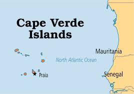
The image above shows a regional map of Cape Verde.
|
|
SurroundingsBordering Countries: None
Bordering Bodies of Water: Mid-Atlantic Ocean Total Distance of All Land Boundaries: 0 km Total Distance of Coastline: 570 km |
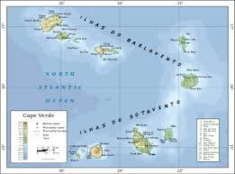
The image above shows a Cape Verde specific map.
|
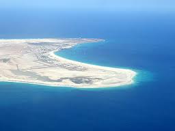
This image shows the coast of Cape Verde, the lowest point of elevation.
|
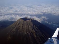
This image shows Mount Fogo, the highest point of elevation.
|
|
